Road Ice Forecasting and Data Links
This page is intended to be a resource for the meteorologist, spotter, storm chaser, emergency manager or casual observer to assist in the monitoring and forecasting of road icing conditions.
Data Links and Model Output
UCAR Model Data Walls
These 'wall' pages display common winter precipitation forecasting parameters in side-by-side panels for easy cross-referencing:
GFS Walls: 06-24 hours | 30-84 hours | 96-120 hours
WRF Walls: 06-24 hours | 30-84 hours | All hours
RUC Walls: All Hours
Road Ice Forecasting Tips
The elements of the typical road icing event are simple:
- Surface (measured 2M and/or ground) temperatures below freezing (<32°F, <0°C), and
- Falling precip-in-progress (of any type)
The vast majority, if not all, of serious events contain those two basic ingredients. I have observed or documented very, very few events that violate those 'rules' (IE, where ingredients were present and icing did not occur, or icing occured without both ingredients). You can use surface obs (METAR maps above) and radar to nowcast road icing imminent or in progress, and model data (links above) to forecast conditions in advance.
Outside of mountain regions, model forecast indicators for snow potential are:
- 850mb temperatures below freezing (<0°C, <-5°C more ideal)
- Near-saturation RH at 850mb (approaching 100% relative humidity)
- Surface temperatures near or below freezing (<36°F, <3°C, snowfall will usually cool surface temps after onset)
- Precipitation (QPF)
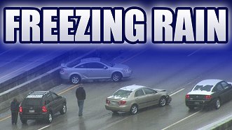
Freezing rain is indicated by:
- Surface temperatures near or below freezing (<36°F, <3°C) and surface wet-bulb temps below freezing (dry air will cool after precip onset)
- Approaching or imminent development of precipitation (QPF on models or indicated by radar and nearby upstream ASOS/AWOS stations)
- Above-freezing layer above the surface (indicated by soundings)
Freezing drizzle/fog is indicated by:
- Surface temperatures near or below freezing (<32°F, <0°C)
- Surface RH at or near saturation (approaching 100% humidity)
- Observed fog or drizzle at nearby ASOS/AWOS stations
Conditions can vary greatly in mountain regions, with inversions (undetected by automated observations) capable of creating intermittent icing conditions.
With very few exceptions, bridge surfaces will always ice rapidly when surface (2M) temperatures are below freezing and precipitation is in progress. Pavement sensors are helpful, but not necessary, to forecast/nowcast bridge icing. Ground surfaces may take additional time to begin icing, unless surface temperatures have remained below freezing for extended time periods before the onset of precipitation. Pavement sensors can be helpful in nowcasting ground (non-elevated) surfaces for icing potential.
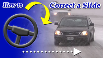
Educational Winter Driving Videos - Watch for Free:
 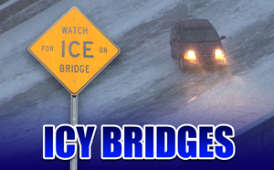 
Home | Risk | Stats | Accident Video | Icy Bridges | Tips | Warning Signs | If You Slide | If You Wreck
1,836
Average annual
deaths in the US
from icy roads
136,309
Average annual
injuries in the US
from icy roads
[ More Statistics ]
|
|